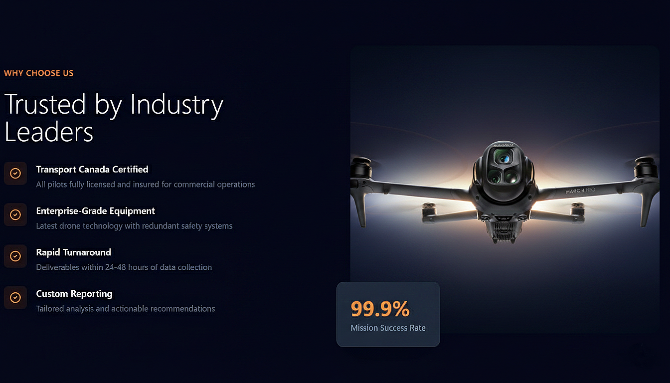
Precision from Above
Advanced drone inspection, aerial imaging, and geospatial intelligence for construction, infrastructure, and security applications.

Comprehensive Drone Services
From precision inspections to advanced mapping solutions, we deliver actionable aerial intelligence for your most demanding projects
“Their crane inspection service saved us weeks of downtime. The detailed reports and rapid turnaround exceeded our expectations.”
Our Services
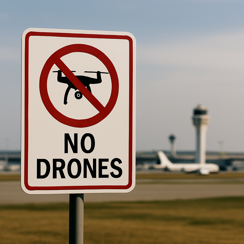
Counter-Drone
Consultation and installation of detection and mitigation systems
Aerial Imagery
High-resolution photos, video, orthomosaics, and 3D modeling
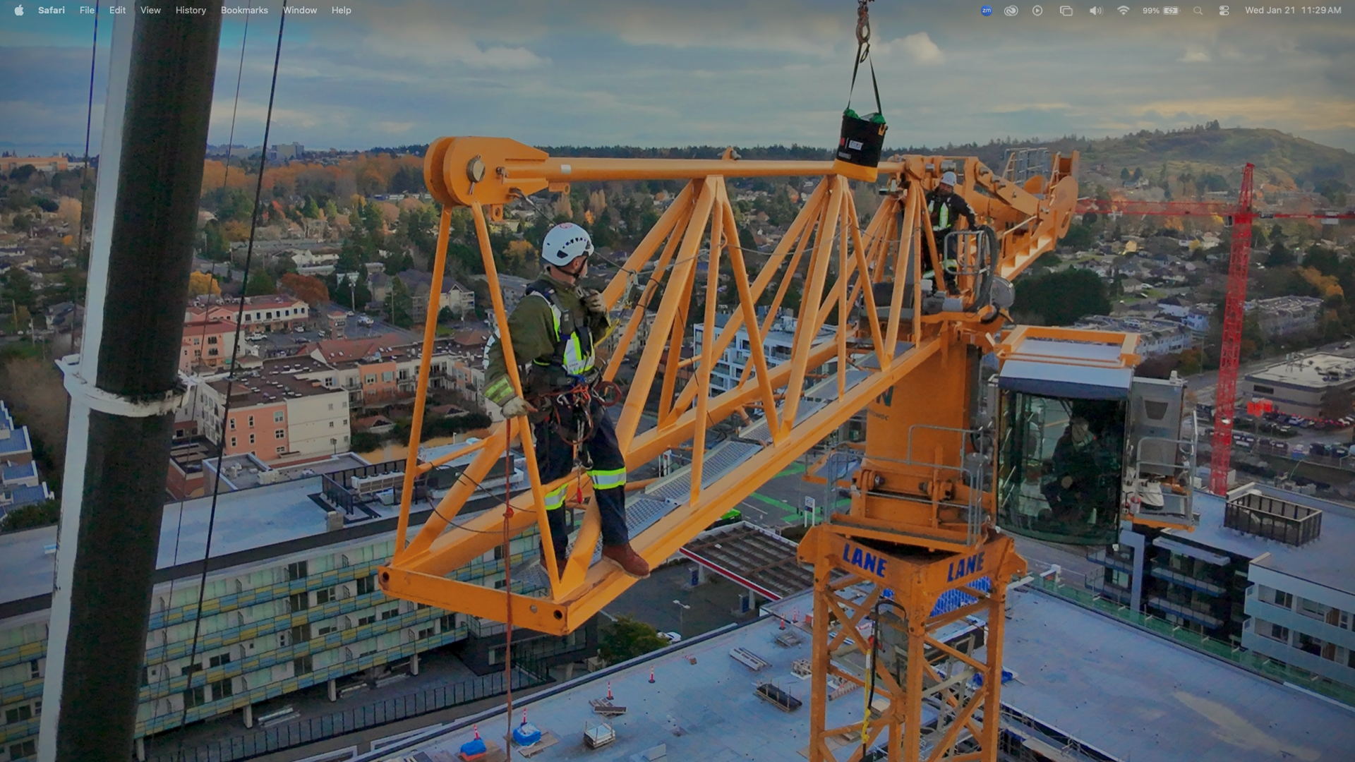
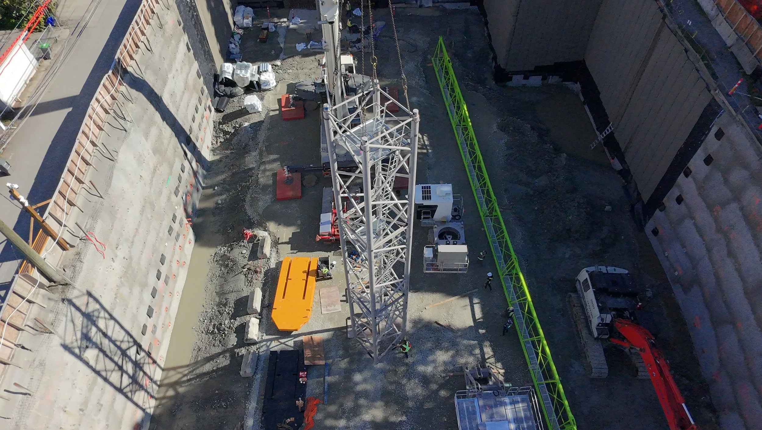
Crane inspection
Comprehensive drone-based structural assessments of tower cranes, gantry cranes, and overhead systems.
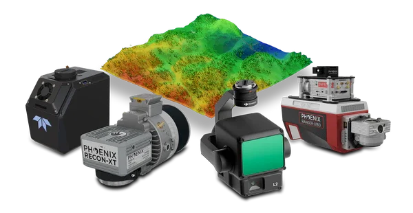
LiDAR & GIS
Precision mapping, terrain modeling, and geospatial analysis